
Lower Tonto Creek
November 2026
Pick a day
Tap any highlighted day to see which sites are free.
Not the nights you need? We can watch your dates and tell you the moment a site opens.
Site map
We haven’t drawn a map of Lower Tonto Creek yet. You can see its sites on Recreation.gov.
About
Overview
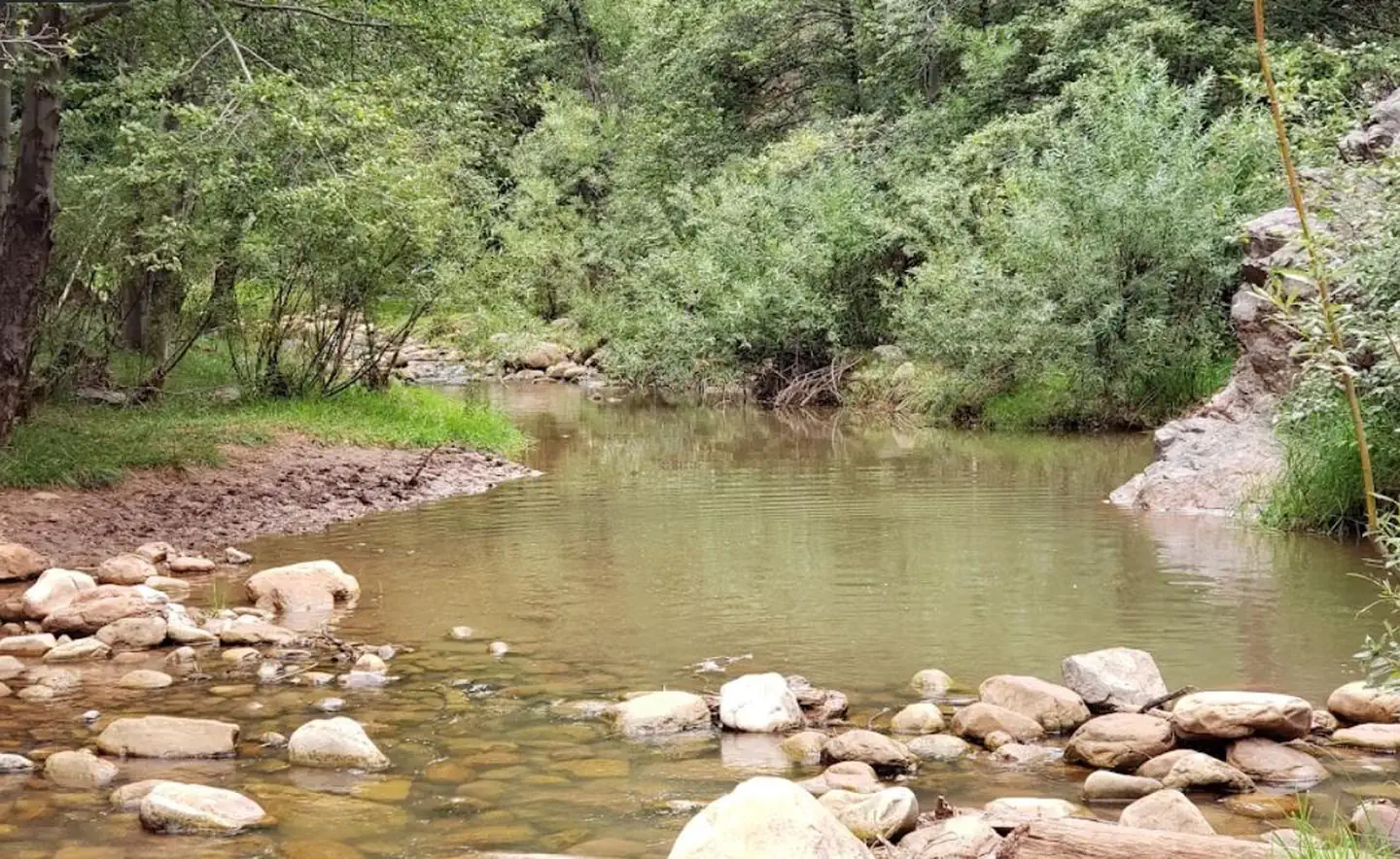
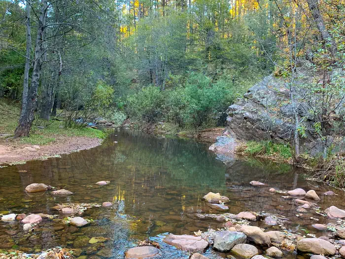
The Lower Tonto Creek Campground is tucked away right next to the main highway just south of where the Tonto and Horton Creeks merge. Families may enjoy fishing at both Tonto and Horton Creeks or pass time hiking through nearby Horton Creek Trail or Derrick Trail. The Lower Tonto Creek Campground has a large open-space parking lot and paved walkway makes it accessible with only a light hike to the creek.
This location is available on a first-come, first-served basis only.
Visitors are required to physically arrive at the campground to purchase and claim a site. Once on-site, you will be able to pay for your campsite(s) by scanning a QR code using the Recreation.gov mobile app, and the Scan and Pay feature.
You will need to first download the free Recreation.gov mobile app https://www.recreation.gov/mobile-app prior to your arrival as this area has limited or no cellular service.
There is no adjacent parking spot to any camp site. Walk-in access only to all campsites (paved sidewalk is provided).
Map to campground here.
Please note: This campground is right next to Hwy 260 and receives a considerable amount of traffic noise and light throughout the day & night.
Recreation
The union of Tonto and Horton Creeks is at the north end of the Upper Tonto Creek campground. Fishing in both creeks is a popular sport. The trailheads for Horton Creek Trail 285 and Derrick Trail 33 are located in the Upper Tonto Creek campground. Both of these trails access the Highline National Recreation Trail (#31
Natural Features
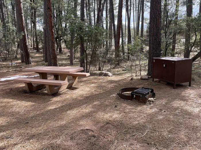
Located just South of where the Tonto and Horton Creeks merge. Campsites are dotted along a paved sidewalk surrounded by tall Pines, situated just next to Tonto Creek.
Please note: This campground is right next to Hwy 260 and receives a considerable amount of traffic noise and light throughout the day & night.
Phone: N/A
The sites at Lower Tonto Creek
Lower Tonto Creek has 13 sites across 3 loops, all Tent. 10 sites are walk-in or hike-in. Pets are allowed on every site and campfires are allowed. The largest site holds 10 people. Check-in is 2:00 PM and check-out 11:00 AM.
Loops: Lower Tonto Creek, Scan & Pay, Scan and Pay.
From the booking system's own site list.
Is Lower Tonto Creek fully booked?
A campground showing no availability is almost never full for good. People cancel — plans change, weather turns, someone books three weekends and keeps one — and the site goes straight back into the booking system, usually without warning and often at odd hours. The reason sold-out campgrounds feel impossible is not that sites never free up; it is that nobody is watching at the moment they do.
CampHawk watches Lower Tonto Creek for you. We recheck it around the clock, as often as every 15 seconds, and the moment a site opens we send a text, an email and a push notification — and on Recreation.gov we also try to put the site straight into your cart, so it is held while you get to your phone.
Searching is free and needs no account — the calendar above is live right now. Watching Lower Tonto Creek for cancellations is the paid part.
Fully booked? What actually works when a campground is sold out.
Auto-cart on Recreation.gov
On the Auto-Cart plan, when a site here opens we alert you and, at the same moment, try to put it straight into a cart for you, so all you do is check out. How auto-cart works on Recreation.gov.
Campgrounds near Lower Tonto Creek
- Ponderosa (AZ) · Payson, AZ2.5 mi
- Christopher Creek · Payson, AZ4 mi
- Sharp Creek · Payson, AZ6.1 mi
- Knoll Lake Campground · AZ6.5 mi
- Promontory Pit Road Campground · AZ7.3 mi
- Mogollon Campground · Overgaard, AZ8.1 mi